| |
||||||
|
||||||
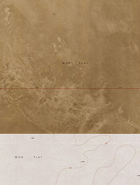
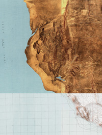
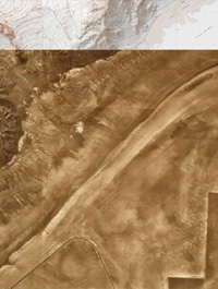
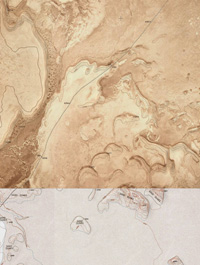
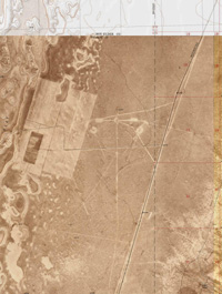
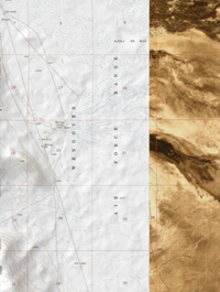
COLLAGED MAPS
aerial photographs and relief maps of the utah desert. (click on image to
enlarge)
maps created using usgs
utah state mapping software
| |
||||||
|
||||||
 |
 |
|
 |
 |
|
 |
 |
