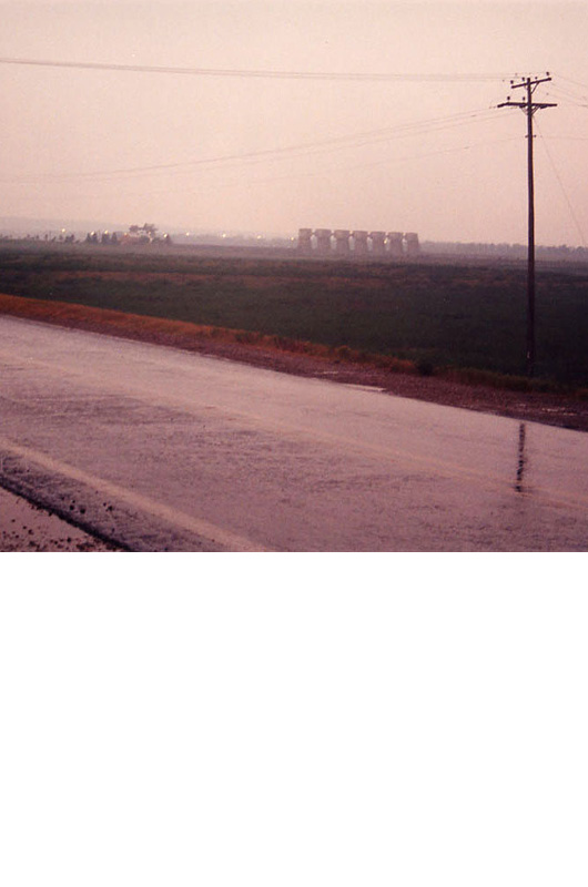
At Old River, the Army Corps of
Engineers has frozen time. By mandate of Congress, the ratio of water flowing
into lower Louisiana has remained the same since 1950. The complex of dams
and locks at Old River Control has prevented the Mississippi from diverting
its course to the Atchafalaya River – a shorter and steeper route to
the Gulf of Mexico. Although located 200 miles from New Orleans, Old River
Control is a piece of urban infrastructure, designed to maintain shipping
channels on the lower Mississippi to oil refineries, petrochemical plants,
refineries, electrical plants, and other industries.At Old River Control,
the waters of the Mississippi are some 20 feet higher than the on Atchafalaya
side. This series of photographs documents the infrastructure of the army
corp of engineers old river control system.
photographs © Alan Loomis 2004. Alan lives in Pasadena, CA, where he is a senior urban designer at Moule & Polyzoides Architects and Urbanists. He is the creator/editor of www.DeliriousLA.net, a comprehensive weekly listing of architecture events in Southern California..
related links:
center for land use interpretation land use database
books for additional information:
the control of nature
Mississippi Floods: Designing a Shifting Landscape